Field intelligence for farm teams
See every field clearly.Know what needs attention.
Bring satellite imagery, weather, and field history into one operating view—so your team can see what changed, decide what matters, and act with the right context.
Sentinel-2 monitoring, PlanetScope-readyWeather + field historyDaily + weekly priorities
From signal to actionStay focused on the field that matters.
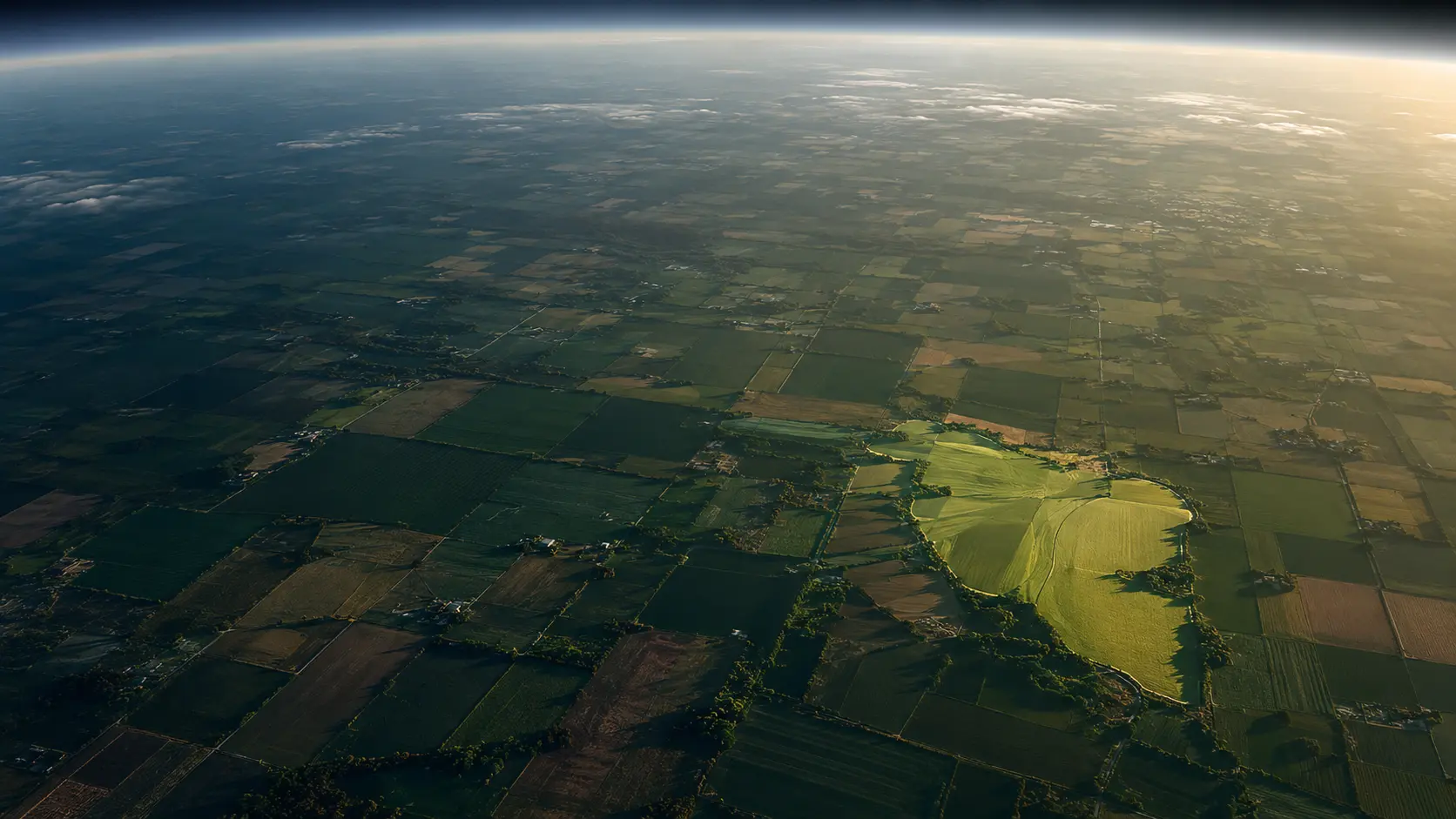
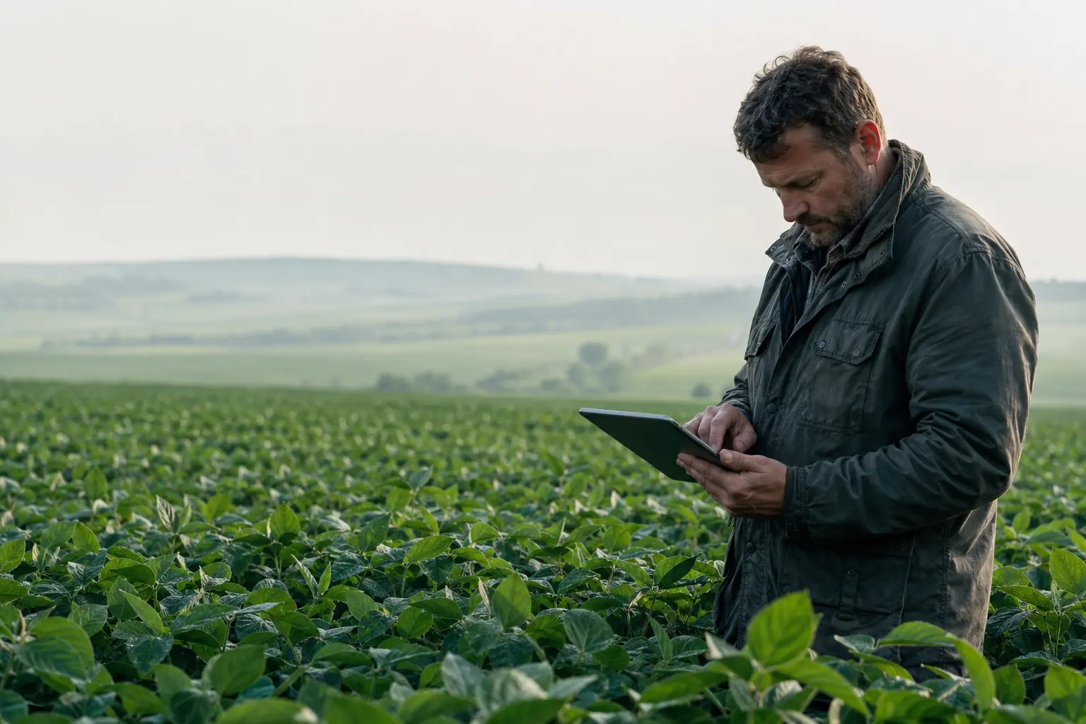
The view gets closer while the next decision gets clearer.
Scroll to descend
One operating viewFields, weather, priorities, and work
Evidence with contextSatellite patterns connected to farm history
Action, not noiseClear priorities for the people in the field
The daily operating view
Open the farm. See the priority.
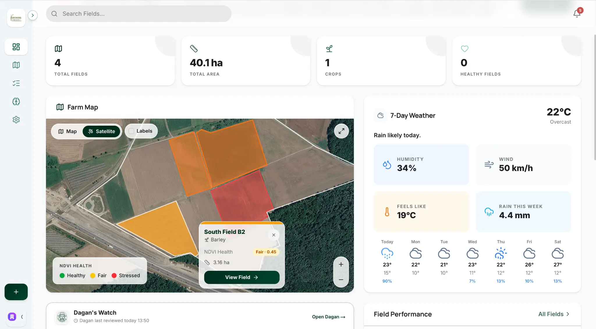
The dashboard puts urgent work first, then gives you the map, weather, and field context behind it—without making you search through reports.
- 01Priority fields and required actions first
- 02Imagery dates and data confidence always visible
- 03Weather, field history, and recent activity together
Priority fieldStart with the field that changed.The evidence stays directly behind the priority.
From status to evidence
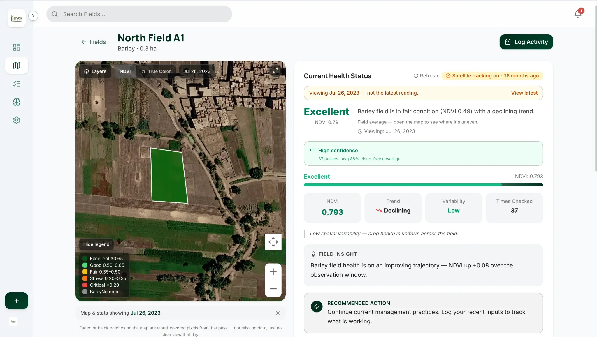
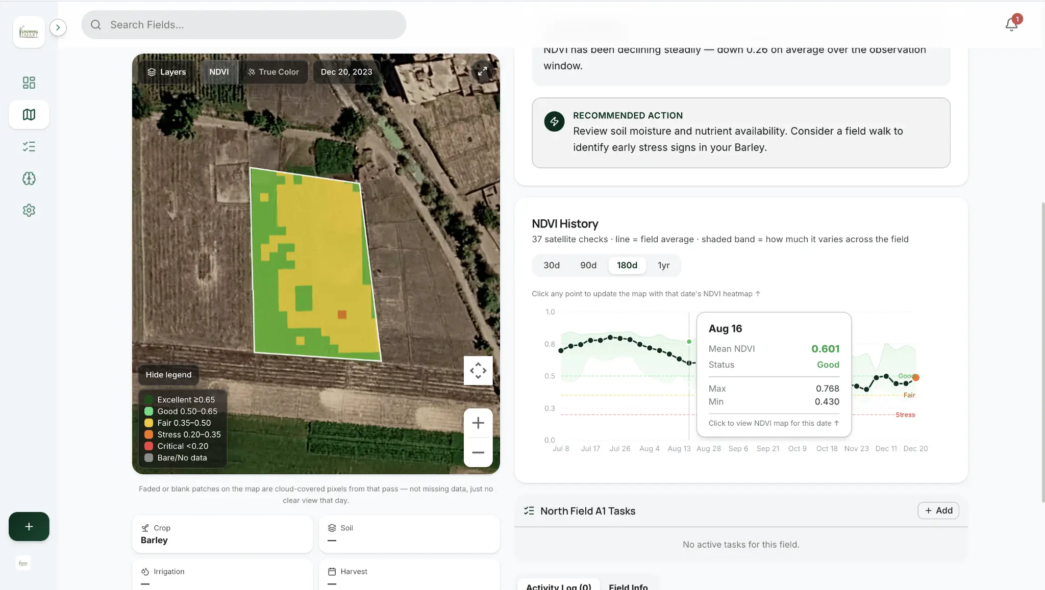
Know where the field changed—and when.
Move from a field’s current status to the exact map and dated history behind it. Every point in the trend opens the matching satellite view.
Dagan · Farm intelligence
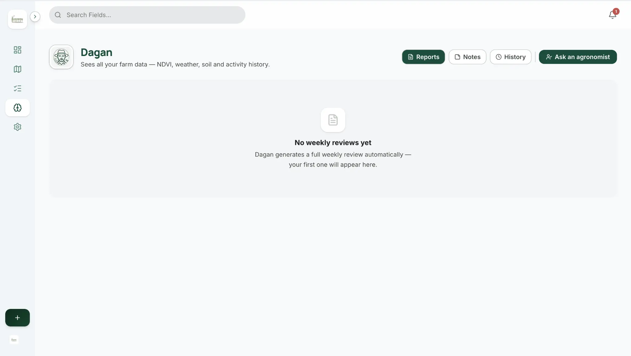
Farm intelligence grounded in your field history.
Dagan connects imagery with crop stage, weather, activities, notes, and earlier reports. The result is a clearer priority with the evidence and uncertainty kept visible.
Field historyWeatherCrop stageActivitiesNotesEarlier reports
Decision support with visible limits. Dagan does not diagnose pests or disease from satellite imagery alone and makes expert escalation easy.
Close the loop
Every completed action improves the next review.
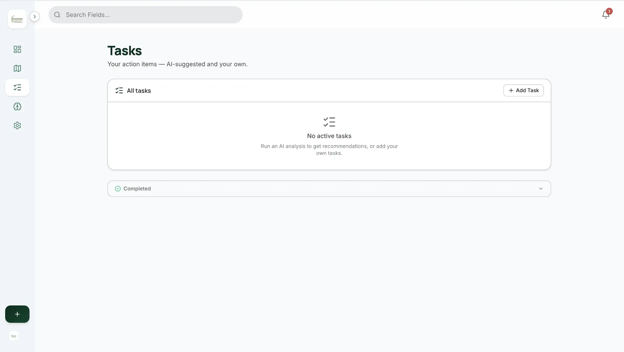
Turn an insight into a task, record what happened in the field, and let the next review see the response. Your farm record gets more useful with every completed cycle.
1Insight2Task3Field log4Next analysis
Questions
What farm teams ask before they begin.
What does Growing Smart analyze?
Growing Smart brings together satellite imagery, NDVI history, weather, crop cycles, field activity, notes, alerts, tasks, and earlier reports. The goal is to explain what changed and what deserves attention next. Fields are monitored on Sentinel-2 today, and the platform is built to add higher-resolution PlanetScope imagery.
Does Dagan replace an agronomist?
No. Dagan supports decisions, shows uncertainty, and helps organize evidence. It does not make definitive pest or disease diagnoses from satellite data alone, and higher-risk decisions remain with qualified experts and field verification.
How often is the farm reviewed?
The product is designed around proactive daily and weekly analysis. Satellite availability still depends on clear imagery, so the interface shows the imagery date and confidence instead of presenting old data as current.
Can the farm team record what happened?
Yes. Tasks, field activities, observations, and farm notes become part of the field history. That closes the loop between a recommendation, the work completed, and the next analysis.
Start with your own fields
See your farm through one clearer operating view.
Walk through your fields, daily priorities, history, and reporting loop with the Growing Smart team.